LEMHI COUNTY, Idaho — The Hayden Fire located roughly 18 miles west of Leadore and 33 south of Salmon in Lemhi County has burned an estimated 24,706 acres and 84% contained, U.S. Forest Service officials said.
As of Tuesday, the Forest Service reported that the fire was still 84% "complete" and the fire had not grown in acreage. The recent rain helped crews with the fire.
Crews on the ground continue to address pockets of heat and repair impacts from suppression activities, fire officials said.
Aug. 22 Update:
Fire closures have been terminated. The following is now open according to the forest service:
"NFS lands, roads and trails on the Leadore and Challis-Yankee Fork Ranger Districts of the Salmon-Challis National Forest within the area bounded by the following: starting at the junction of the Salmon-Challis National Forest boundary and National Forest System Road #008 Hayden Creek Road, then following the Salmon-Challis National Forest boundary to the northwest to its junction with National Forest System Trail #6178 Basin Creek Trail, then following NFST #6178 to where it joins the hydrologic divide between Basin Creek and Bear Valley Creek, then following this hydrologic divide west to the hydrologic divide between the Lemhi and Salmon River Valleys, then following the Lemhi/Salmon River hydrologic divide south over Lem Peak, Long Mountain, and May Mountain to the hydrologic divide between Tater Creek and Morse Creek, then following the hydrologic divide between Tater Creek and Morse Creek south to the Forest boundary, then following the Forest boundary southeast to its intersection with Falls Creek, then following Falls Creek northeast to its junction with an unnamed drainage in Township 15 North, Range 23 East, Section 14, then following this unnamed drainage north to the hydrologic divide between the Pahsimeroi and Lemhi Valleys, then following the Pahsimeroi/Lemhi divide south and east to its junction with the hydrologic divide between Mill Creek and Lee Creek, then following the Mill Creek/Lee Creek divide north to Lee Creek, then following Lee Creek northeast to its junction with the Forest boundary, then following the Forest boundary northwest to the point of origin at the junction of the Salmon-Challis National Forest boundary and NFSR #008 Hayden Creek Road."
Aug. 15 Update:
A majority of fire activity on the west side has led fire managers to use natural rock features to keep the fire in place.
Temperatures are rising with increased winds, which can also result in increased smoke.
Evacuations are in "ready" status and stage 1 fire restrictions are in place.
Aug. 14 Update:
As progress on the fire continues, crews have dismantled the camp up Hayden Creek that allowed some firefighters to be close to the fire. They are also removing pumps and hoses from streams, according to the Salmon-Challis Forest Service.
One helicopter remains working the Hayden Fire and 566,324 gallons of water were used as of Monday.
On Aug. 2, officials with the Salmon-Challis National Forest began providing daily updates on the fire's "completion" percentage, rather than containment. The completion percentage reflects the division of work, with firefighters tackling containment measures on the fire's north half, while the south half of the fire is being contained by natural features.
The Hayden Fire has been burning in steep and difficult terrain, with 376 total personnel and eight crews assigned to the incident as of Wednesday. Resources also include 14 engines, three helicopters and a dozer.
The estimated acreage of the fire has increased just 60 acres since Aug 3, after consistent periods of rapid growth. Crews are using this period of rain showers and cooler temperatures to locate new fire activity, increase containment, start suppression repair and secure firelines.
Great Basin Incident Management Team 4, led by Incident Commander Steve Shaw, took command of the Hayden Fire on the morning of Friday, Aug. 4. The estimated containment date for the Hayden Fire is currently listed as Oct. 1. The cause of the fire has not been determined.
Stage 1 fire restrictions are in effect for all forest service lands through Oct. 31, 2023, at 12 p.m., in the Salmon-Challis National Forest. The restrictions will continue through Oct. 31, unless rescinded. The order does not include NFS lands within the Frank Church River of No Return Wilderness. For more information on the restrictions, click here.
The Lemhi County Sheriff’s Department, Salmon-Challis National Forest and Great Basin Team 7 have pre-identified evacuation zones. As of Monday, Aug. 7, all zones have been moved back to "READY" status, as detailed below. Zone 1A was previously under "GO" status, while Zone 1B and Zone 3 were in "SET" status.
Lemhi County Emergency Management:
- ZONE 1A- will move back to “READY” status
- ZONE 1B- will move back to “READY” status
- ZONE 2- will remain in “READY” status
- ZONE 3- will move back to “READY” status
- ZONE 4- will remain in “READY” status
- ZONE 5- will remain in “READY” status
Prior to July 31, the Hayden Fire went uncontained for nearly two weeks before reaching 5% when it had burned an estimated 18,085 acres. On Tuesday, Aug. 1, officials updated their details to feature "completion" percentage. The fire was 47% completed on Tuesday.
The fire was discovered July 19 in the upper reaches of Hayden Creek. At that time, the fire had already scorched 400 acres. By July 20, it had spread to the Carol, Wade and Paradise Creek drainages, while remaining in the upper reaches of Hayden Creek.
On July 21, the Hayden Fire surpassed 3,000 acres. "Significant" fire activity and growth pushed the fire to more than 7,000 acres by July 24.
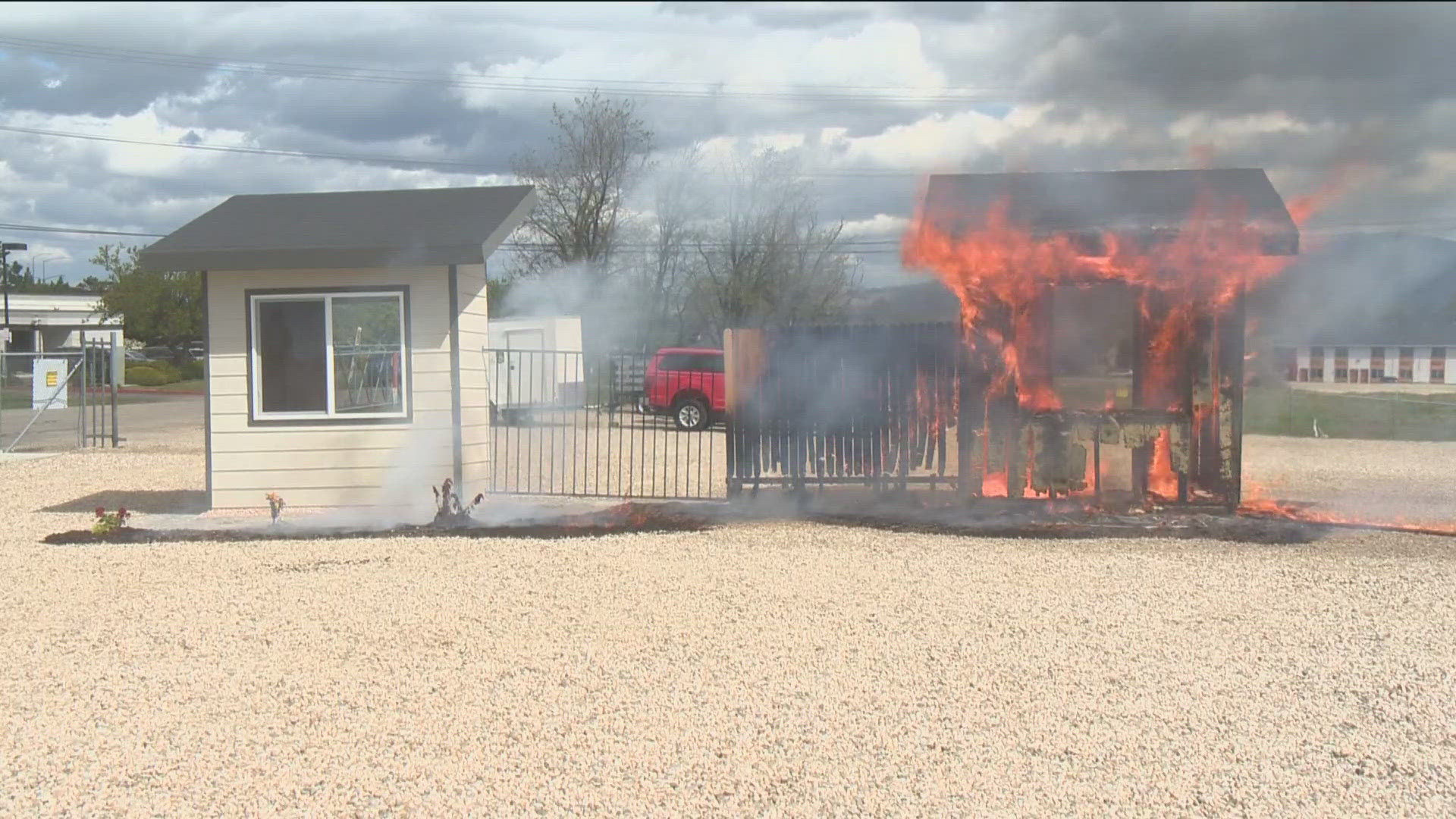
On Tuesday, July 25, the Eagle Fire Department sent a crew to Lemhi County to assist with fire suppression efforts. Eagle's crew shared photos before leaving the Treasure Valley and once on scene at the Hayden Fire:
The fire danger rating in the Central Idaho Dispatch Zone, which includes the Salmon-Challis National Forest, has moved to Very High Fire Danger due to weather and fuel conditions. In areas of "Very High" fire danger, fires can start from most causes and spread rapidly with a quick increase in intensity.
If you are planning a camping, hiking or ATV trip, Forest Service officials urge you to be cautious about actions that could cause a wildfire:
- Ensure your vehicle is properly maintained, with nothing dragging on the ground.
- Keep vehicles off dry grass.
- Never leave a campfire unattended. Always add water, stir it, and make sure all embers are out. "If it's too hot to touch, it's too hot to leave."
- Always use a campfire ring or fire pan when building a campfire.
- Always carry a shovel and fire extinguisher.
- Never shoot into dry vegetation and make sure you're shooting in a safe location. The shooting of exploding targets is not allowed on National Forest lands in the Intermountain Region.
- Fireworks are illegal at all times on public lands.
- Refrain from smoking in wooded, grassy or brushy areas. Make sure your cigarette is fully extinguished before leaving the area.
On Saturday, July 29, the Salmon-Challis National Forest implemented a revised closure as a result of the Hayden Fire. The closure impacts all NFS lands, roads and trails in the Leadore Ranger District and Salmon-Challis National Forest, as designated below:


ADDITIONAL DESCRIBED ROADS AND TRAILS
This closure shall include the following National Forest System Roads and Trails outside of the designated area described above:
Roads:
- That portion of NFSR #213 Allison Creek Road that is north and east of its junction with
- NFSR #089 Upper Allison Creek Road
- NFSR #012 Blue Jay Mine Road
- NFSR #011 Ray Mine Road
- NFSR #244 Patterson Spur #3
Trails:
- NFST #6230 North Fork McKim Creek Trail
- NFST #6143 Devils Lake Trail
The following Road and Trail which make up portions of the boundary of the closure area remain open to travel:
- That portion of NFSR #093 Morgan Creek Road from the Forest boundary north to its junction with NFST #4243 Little Morgan-Cow Creek Trail
- NFST # 4243 Little Morgan-Cow Creek Trail
This order shall be in effect through Sept. 30, 2023, at 12 p.m., unless rescinded.
KTVB will provide updates on the Hayden Fire as they become available.
Watch more Local News:
See the latest news from around the Treasure Valley and the Gem State in our YouTube playlist:
HERE ARE MORE WAYS TO GET NEWS FROM KTVB:
Download the KTVB News Mobile App
Apple iOS: Click here to download
Google Play: Click here to download
Stream Live for FREE on ROKU: Add the channel from the ROKU store or by searching 'KTVB'.
Stream Live for FREE on FIRE TV: Search ‘KTVB’ and click ‘Get’ to download.