
DENVER — A WINTER STORM WARNING remains in effect for the Front Range until 2 p.m.

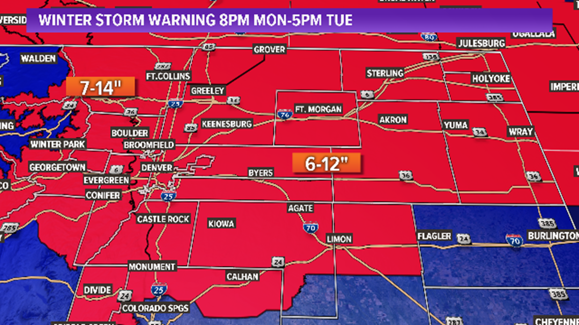
The heaviest snow fell overnight Monday and into early Tuesday morning.
Snow will start to wrap up by midday Tuesday and should end by 5 p.m.

>> Watch below: A full roundup of 9NEWS coverage of this November storm.
RELATED: School closings for Tuesday, Nov. 25
>> Watch below: A look at conditions Monday night in Loveland
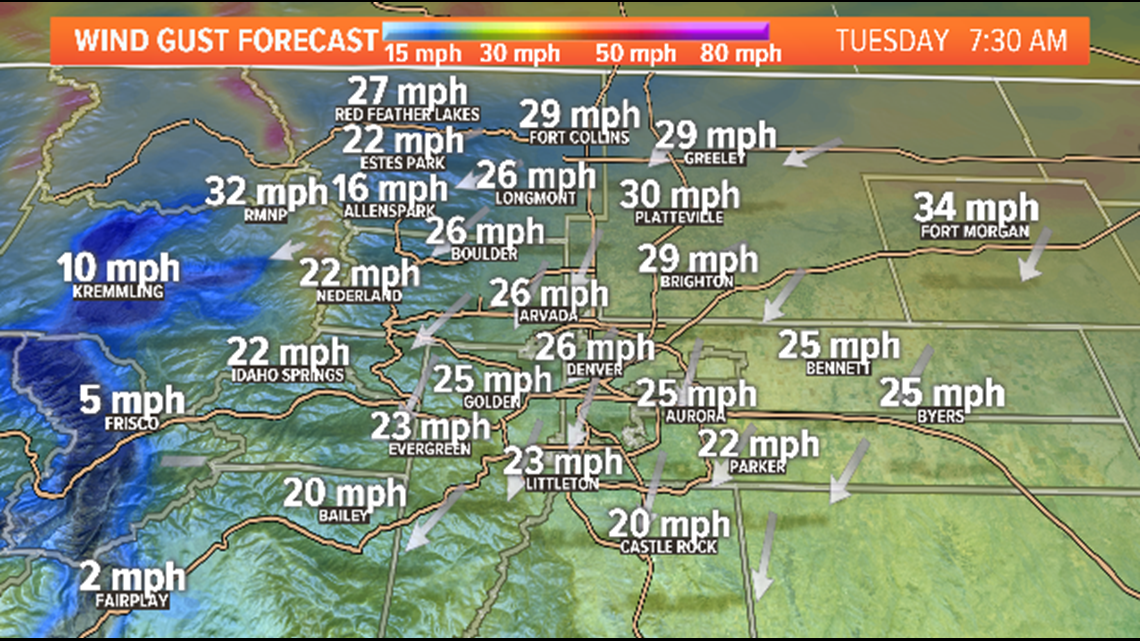
THE WIND
While winds should stay below blizzard criteria for the Front Range, northerly winds of 15-30 mph are likely Tuesday blowing and drifting snow a concern. The strongest wind will be east of I-25 and over the Plains.

THE IMPACT
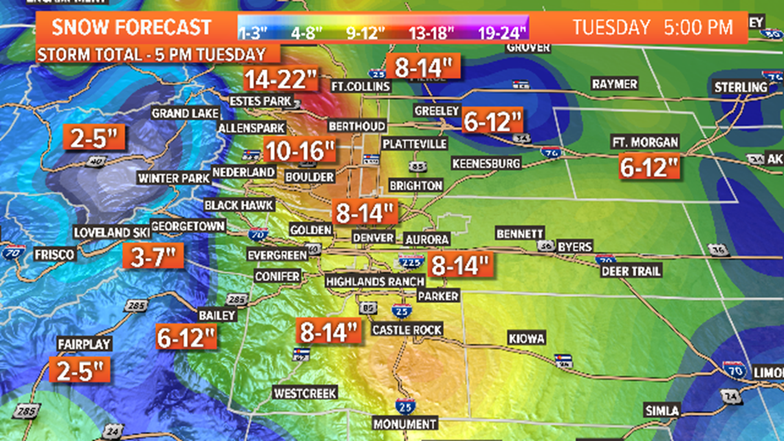
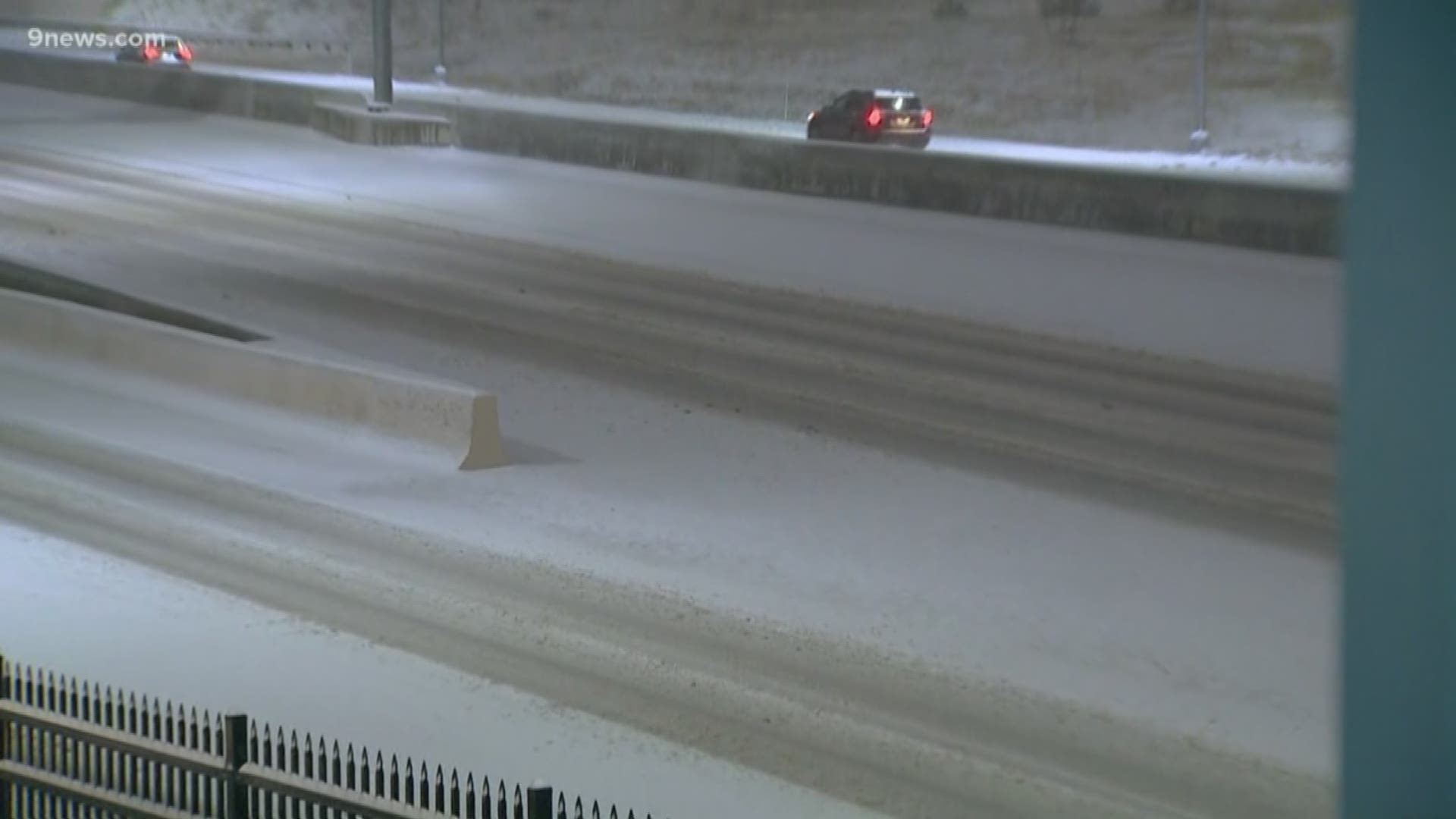
Travel will be difficult to impossible Tuesday morning. The most likely areas for closed and impassable roads will be north of Denver and along and north of Interstate 76 over the Eastern Plains.
TRAFFIC CENTER | Keep up on crashes and travel times here
READ MORE | Complete 7-day weather forecast
SEND | Weather photos, videos
9NEWS apps:
iTunes: http://on9news.tv/itunes Google Play: http://on9news.tv/1lWnC5n