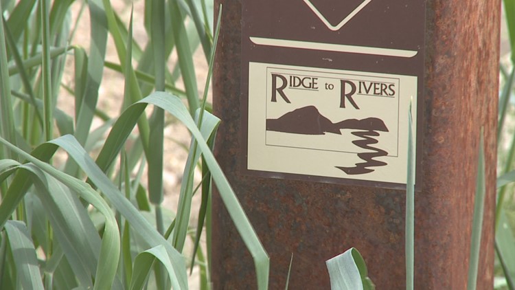
BOISE, Idaho — If you are planning to hike, run, or ride in the Boise Foothills this spring, there is a new 3D interactive map available for Ridge to Rivers trail users
Boise Parks and Recreation says the map is easy to use and mobile friendly. It is now live on the Ridge to Rivers website.
"This new map allows the Ridge to Rivers partnership to better communicate and interact with all types of trail users," said Boise Parks and Recreation Director Doug Holloway. "It's a great way to discover new trails and reserves and the 3D feature allows you to better prepare for conditions along the way."
Feedback received from trail users has been incorporated into the new map. Some of the new features include faster load time, added "level of difficulty" ratings for trails throughout the foothills, improved navigation and search function, and updates to the mobile interface to make the map easier to use on smartphones.
"This map is such an asset to all trail users, no matter what their skill level," said Stephen O'Meara, Ada County Information Technology Director. "Users can see the smallest detail, plan ahead based on their activity level and even find off-leash trails for their dogs."
The online map also allows users to geo-locate themselves on trails throughout the Ridge to Rivers system.