
BOISE, Idaho — Wildfires and smoke have taken over the West Coast, primarily in California, Oregon and parts of Idaho.
The smoke has caused an unhealthy air advisory to be issued for several counties in Idaho. As of Monday, a Red Air Quality Advisory is in place for southwest Idaho and will remain in place until Wednesday, Sept. 16.
You can get the latest weather alerts by clicking here.
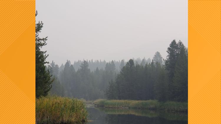
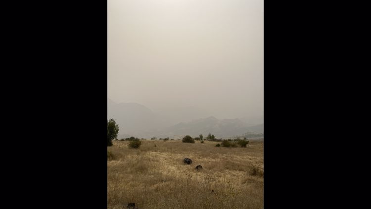
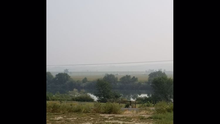
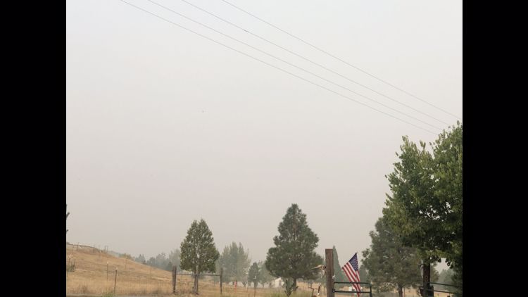
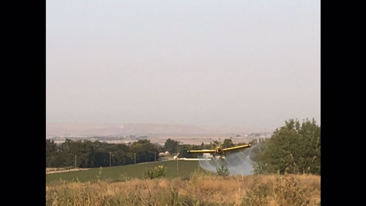
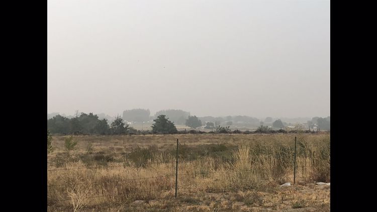
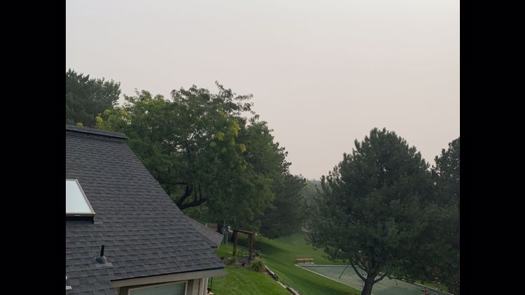
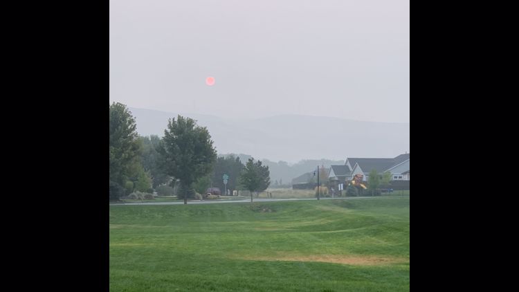
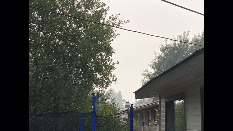
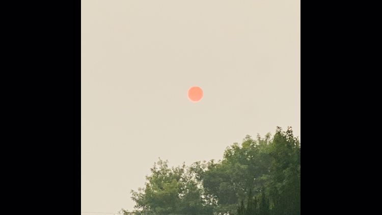
In an effort to better understand how the wildfires are affecting the Treasure Valley, KTVB asked viewers to send in photos of wildfires near them (if it was safe to do so) and the smoke surrounding them.
All of the photos were sent in using our new "Near Me" feature in the KTVB.COM app. It's an interactive map that lets you see news and reader-submitted photos near your neighborhood. Download our app here.
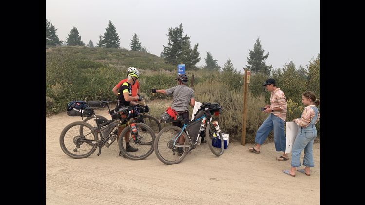
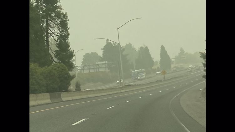
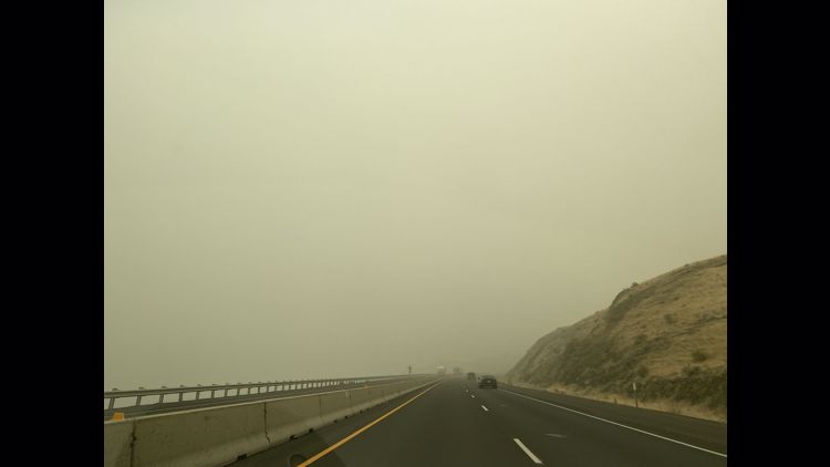
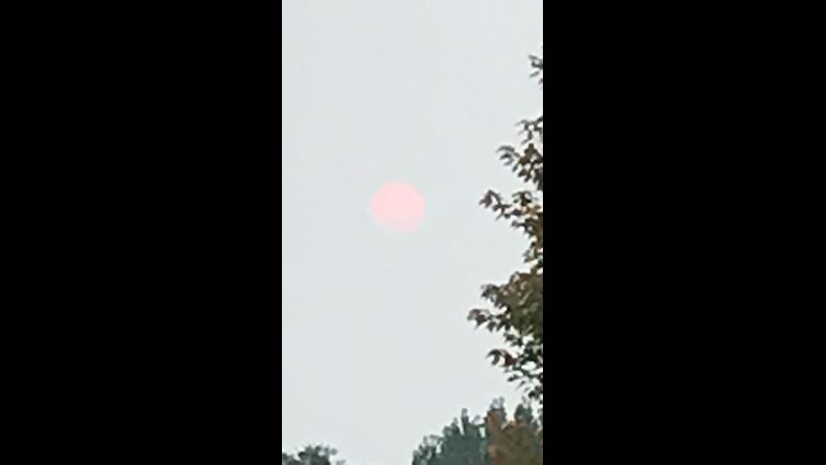
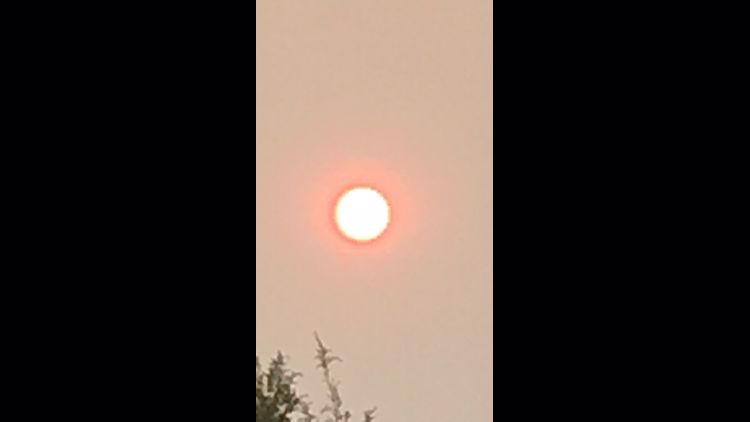
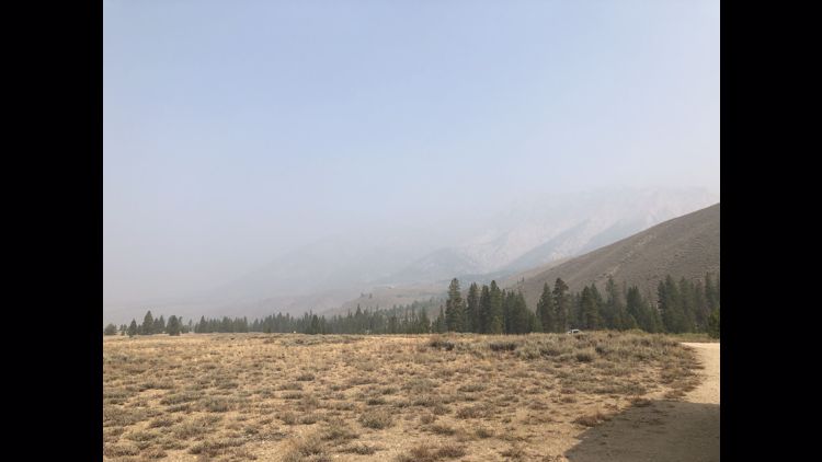
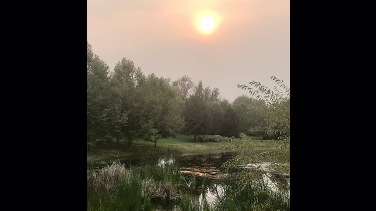
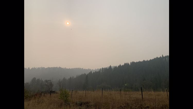
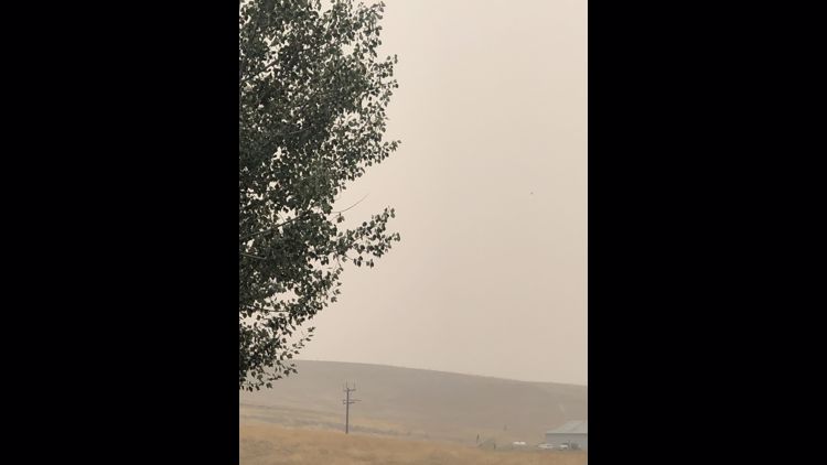
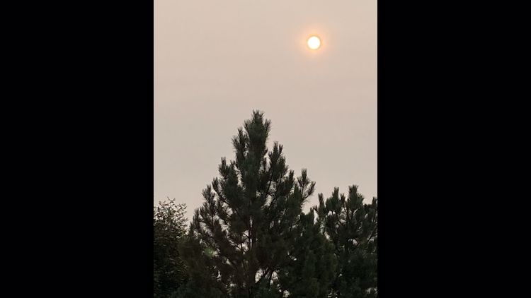
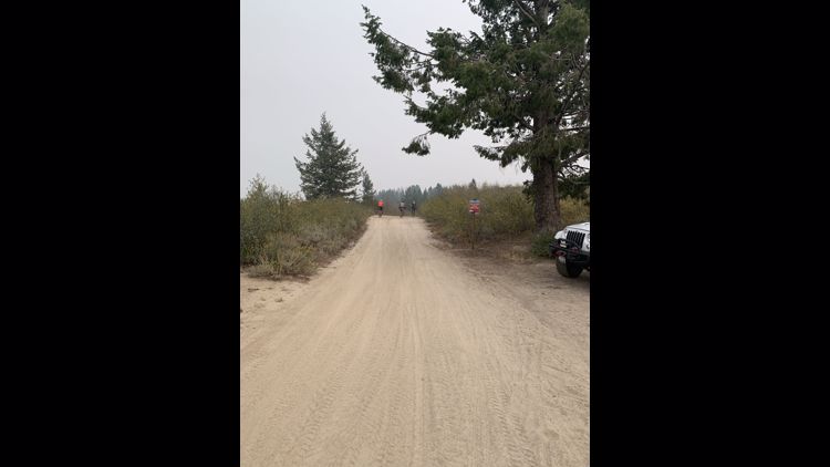
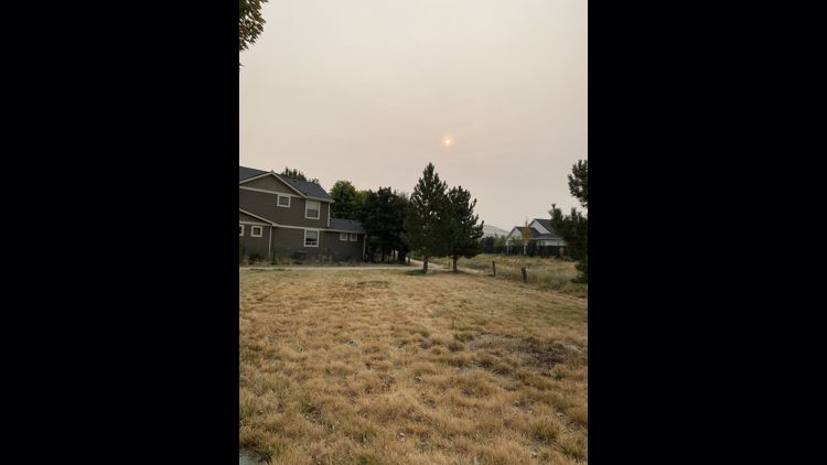
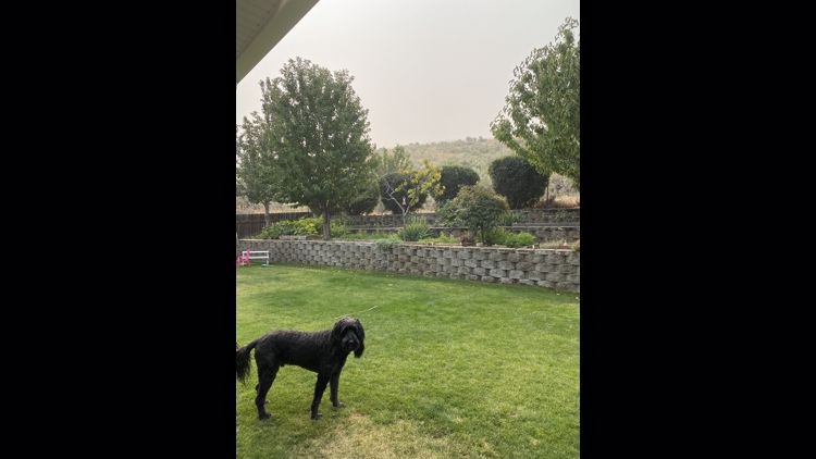
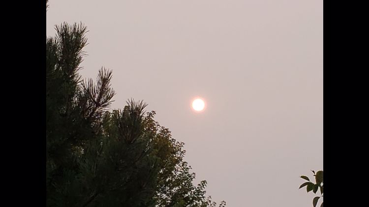
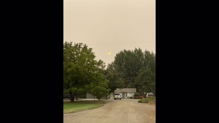
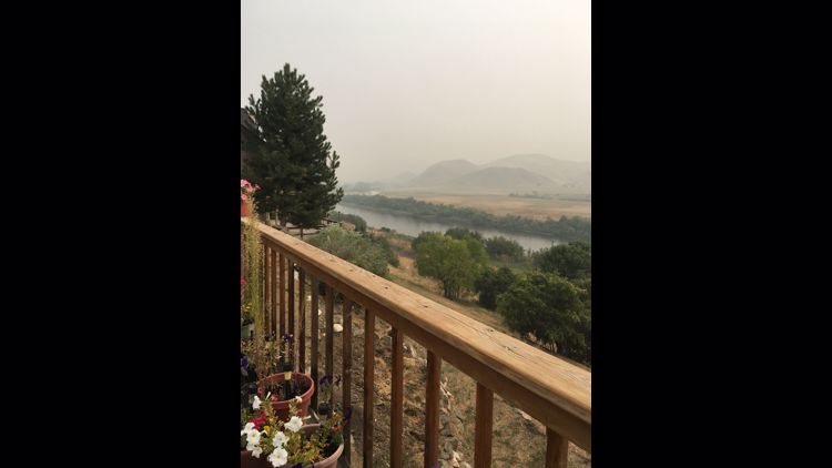
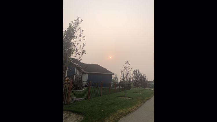
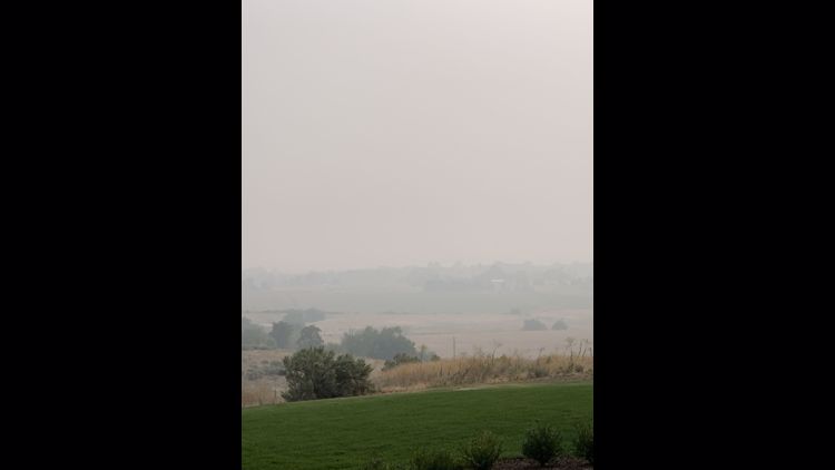
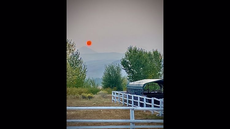
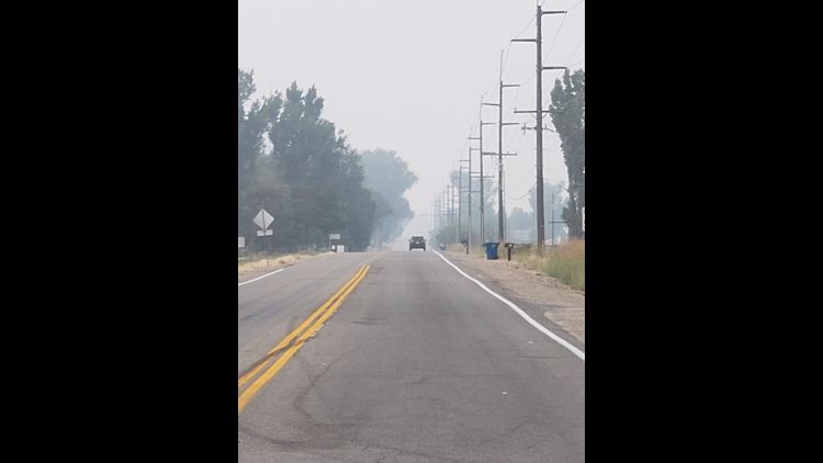
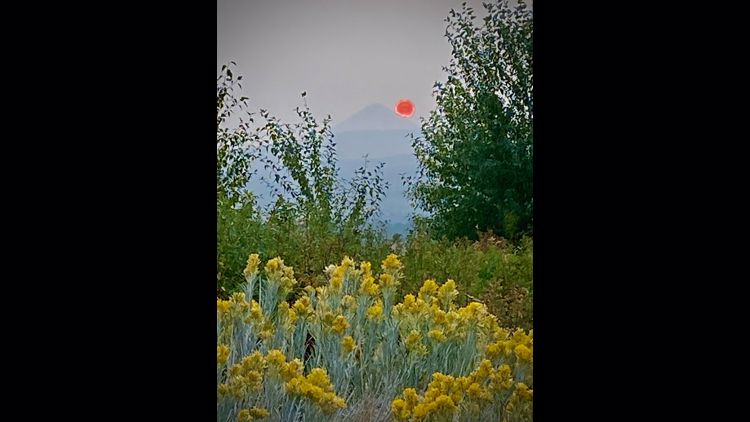
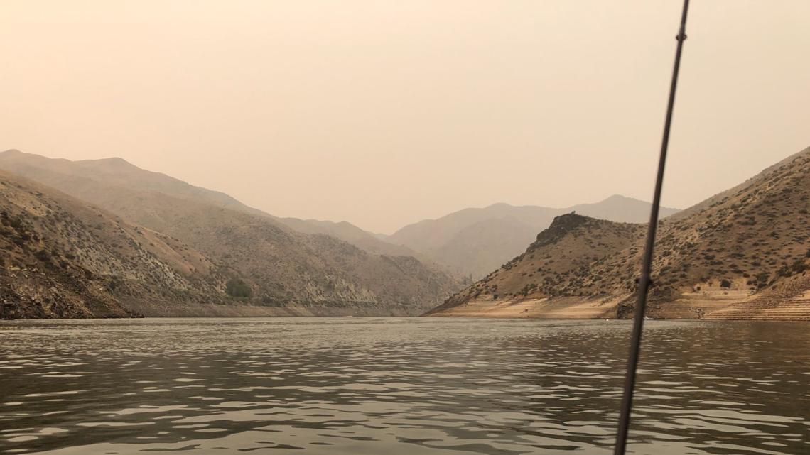
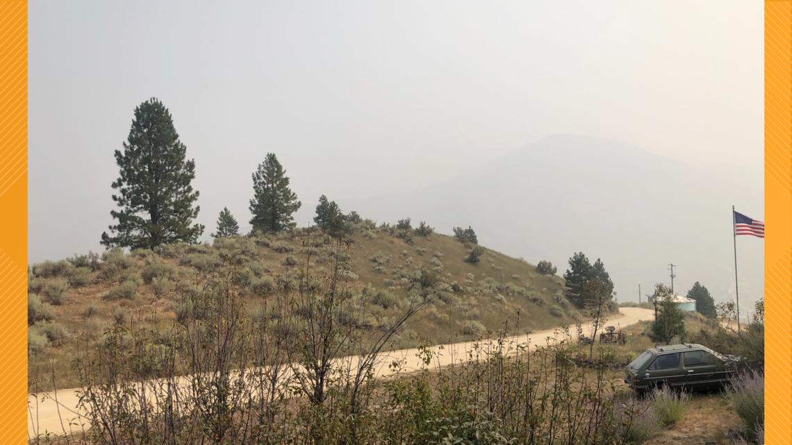
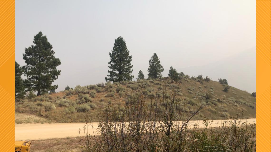
Photos: Smoke covers Idaho, Treasure Valley as wildfires burn across the West Coast


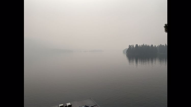


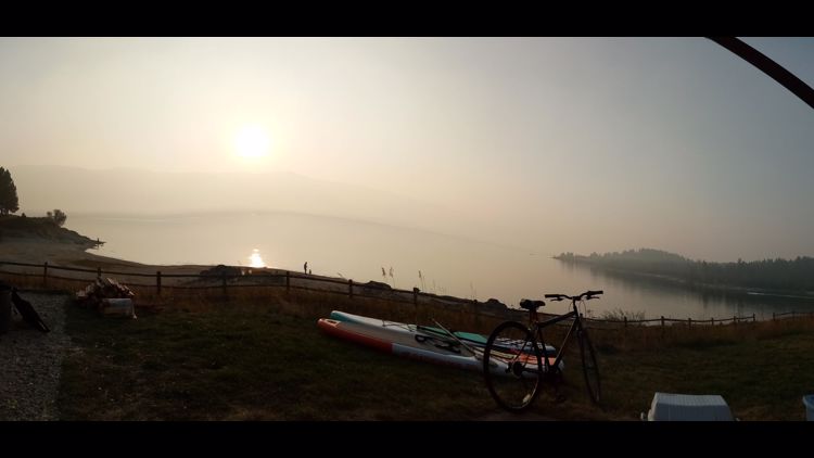


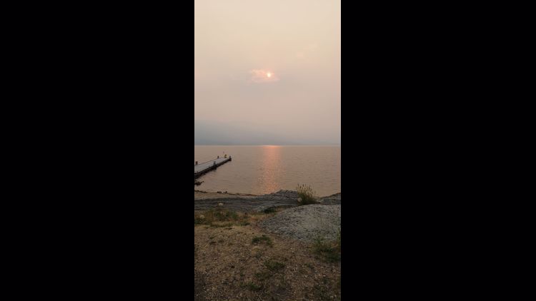


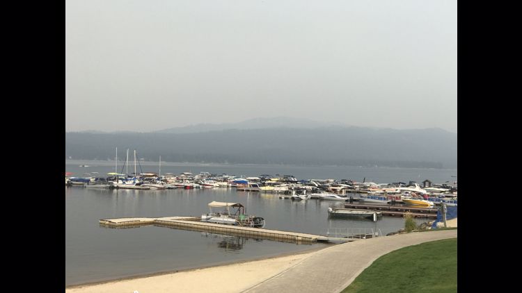


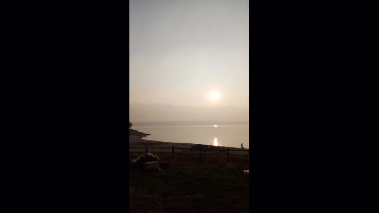


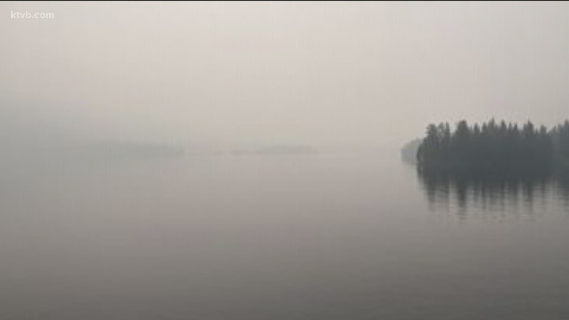
Payette Lake- McCall, Idaho

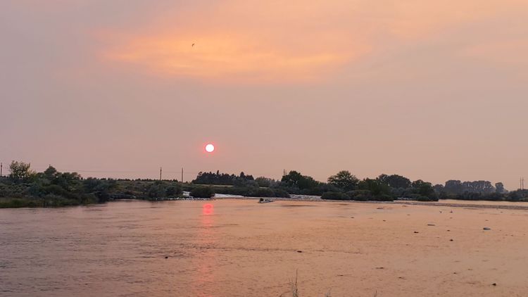
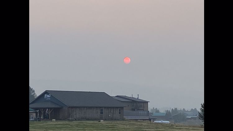
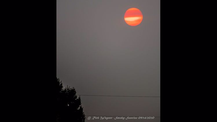
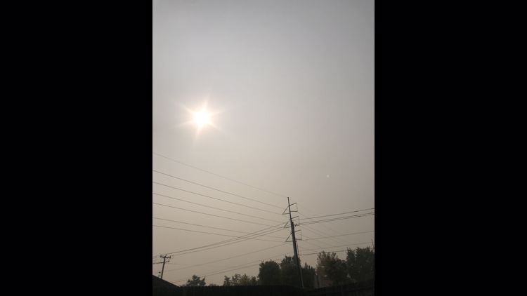
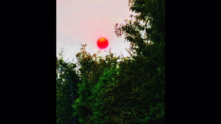
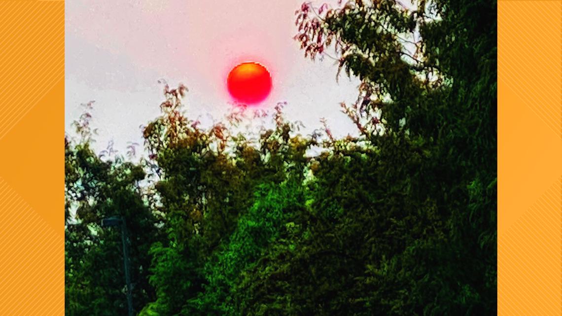
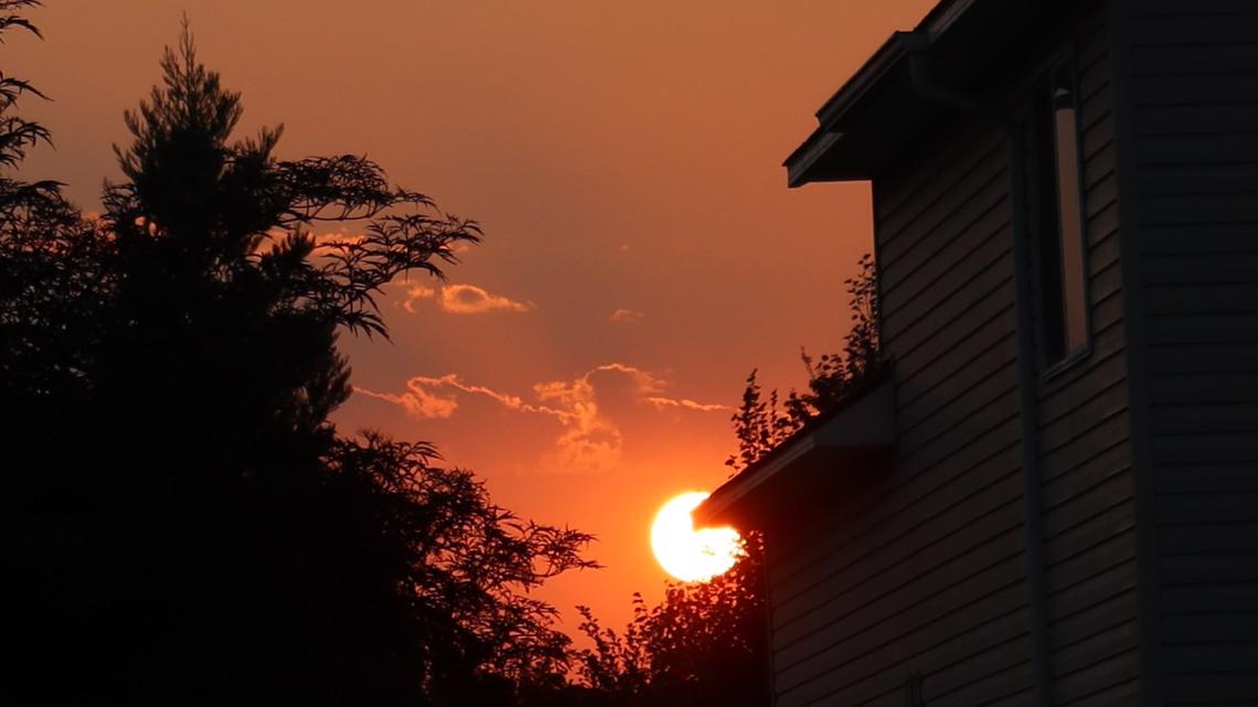
Sunrise and sunset- Nampa, Idaho


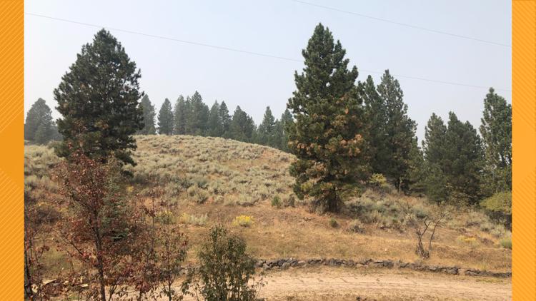
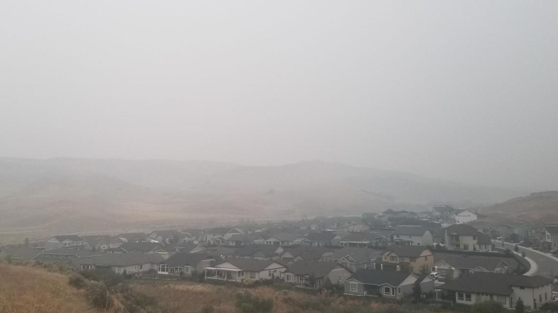
Smoke covering the Foothills- Boise, Idaho

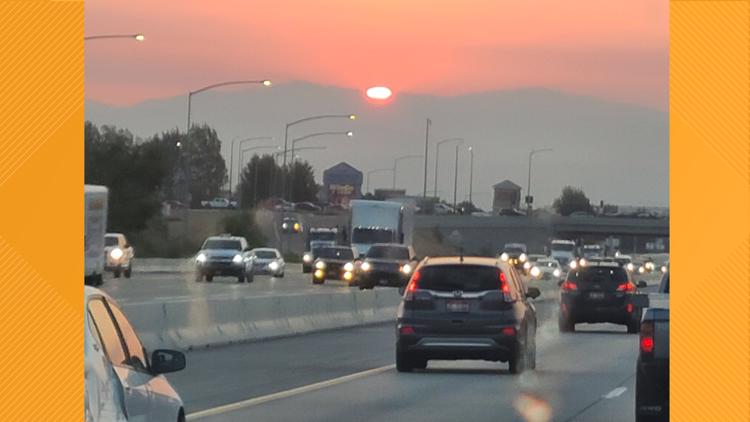
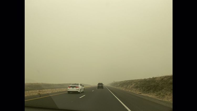
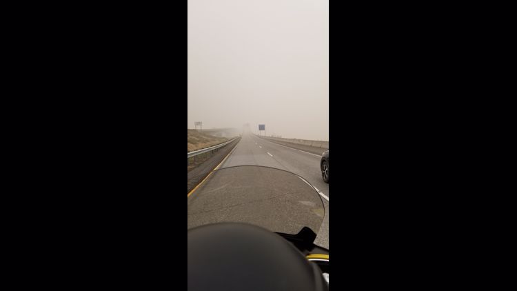
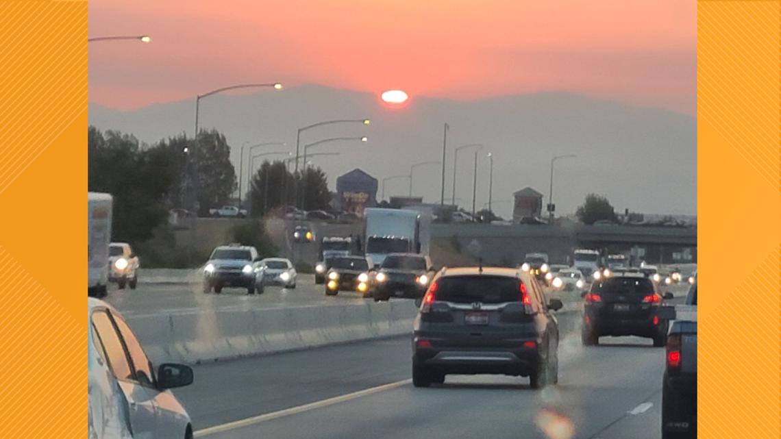
Interstate 84- Meridian, Idaho

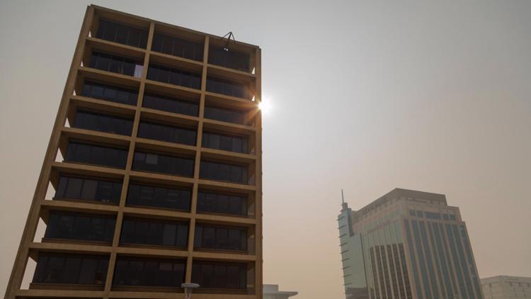
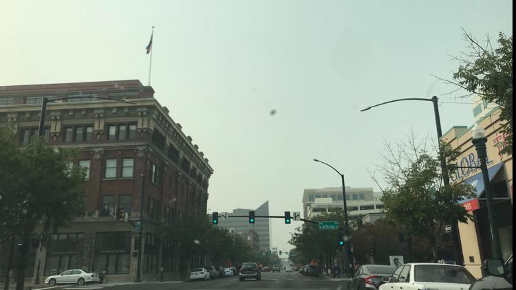
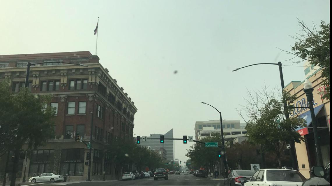
Downtown- Boise, Idaho

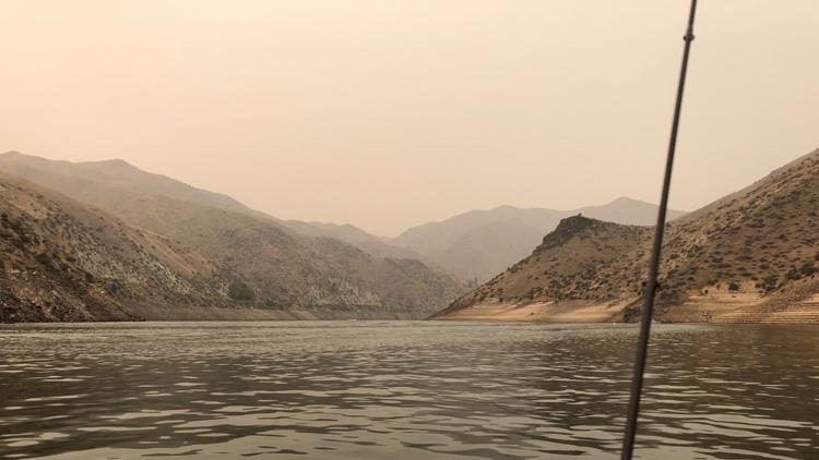
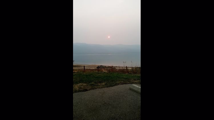
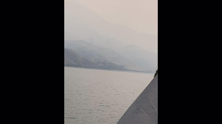
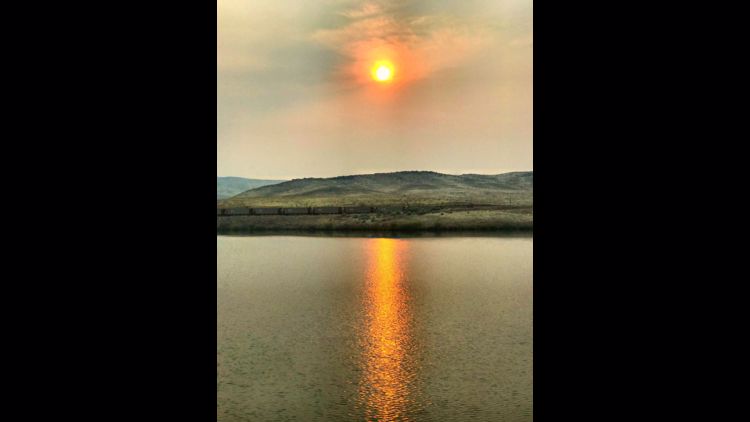
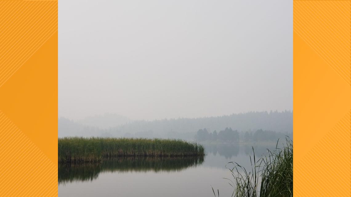
Horsethief Reservoir, Idaho


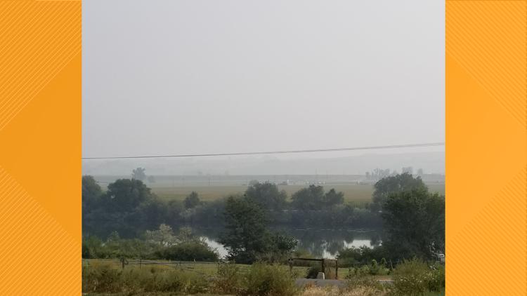
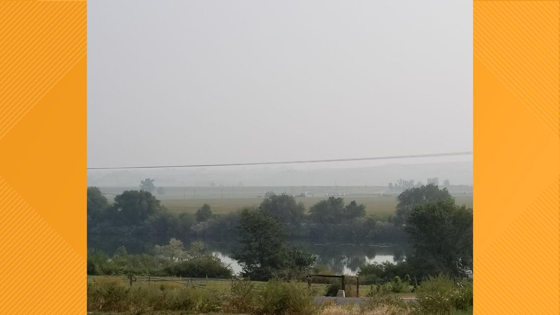
Marsing, Idaho

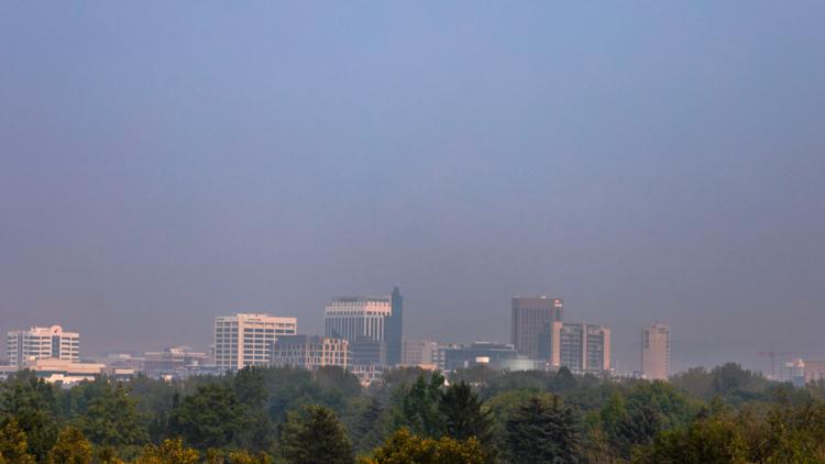
Boise, Idaho


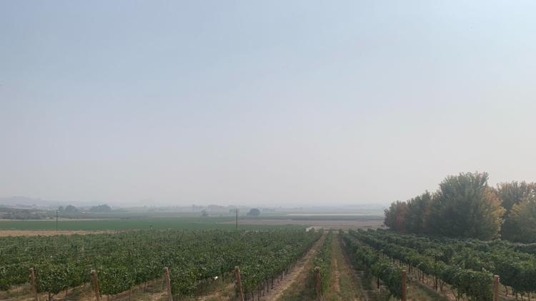
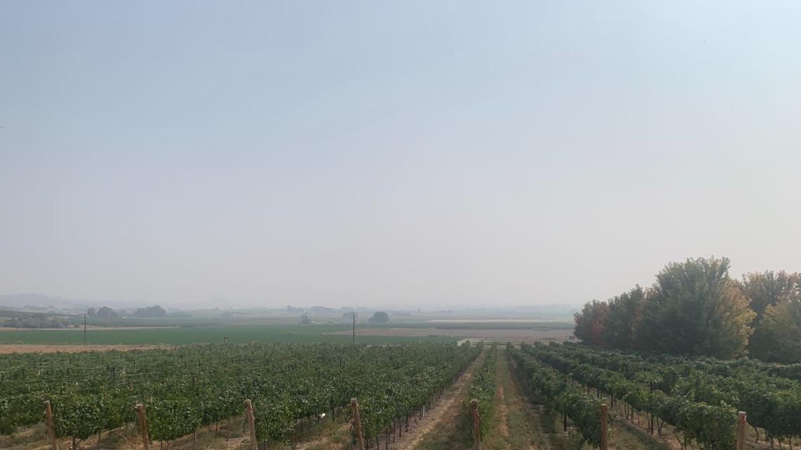
Koenig Vineyards- Caldwell, Idaho

Evergreen Circle- Boise, Idaho


Watch more weather:
See the latest weather forecasts and news in our YouTube playlist: