
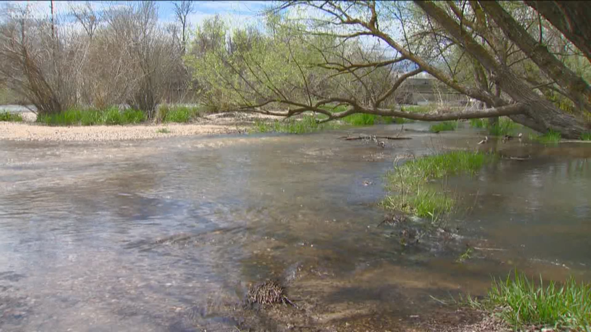
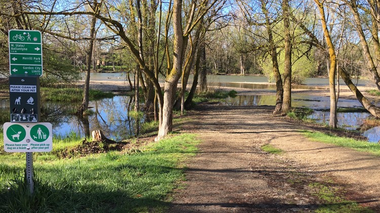
EAGLE, Idaho — Some areas of the Greenbelt in Eagle are experiencing localized flooding as flows on the Boise River are on the increase this week.
The City of Eagle sent out an alert to residents Tuesday. Parts of the Eagle Greenbelt are already underwater and signs are posted to warn users.
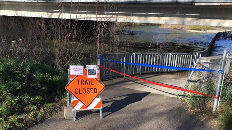
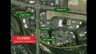
The Greenbelt underpass beneath Eagle Road, on the north side of the river, closed on April 12 due to flooding. (More details on trail closures.)
This comes as the Army Corps of Engineers and Bureau of Reclamation are increasing river flows by 500 cubic feet per second starting Tuesday, April 16 through Friday, April 19.
Flooding closes section of the Greenbelt in Eagle


Flows on the Boise River are expected to reach about 5,700 cfs by Friday evening. Flood stage for the river is 7,000 cfs.
Greenbelt users should use a detour to the Riverside Drive crosswalk to cross Eagle Road.
People should use extreme caution near the river banks and flooded areas. The river runs fast, cold and deep.
You can check the Boise River flows in real time on the National Weather Service's website.