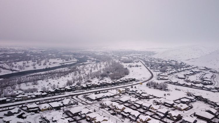
BOISE, Idaho — A Winter Storm Warning is in effect for the Treasure Valley and Owyhee Mountains from 5 p.m. Friday until 11 a.m. Monday, according to the National Weather Service.
Heavy snow is expected. New snow accumulations of 4 to 6 inches in the Upper Treasure Valley from Boise north to the foothills, and north and northeast of Mountain Home to the foothills, with up to 8 inches in the foothills.
A Winter Storm Warning indicates that heavy snow of at least 6 inches in 12 hours, or at least 8 inches in 24 hours, is expected.
In the Owyhee Mountains, 6 to 12 inches is forecast, but up to 18 inches on the highest peaks.
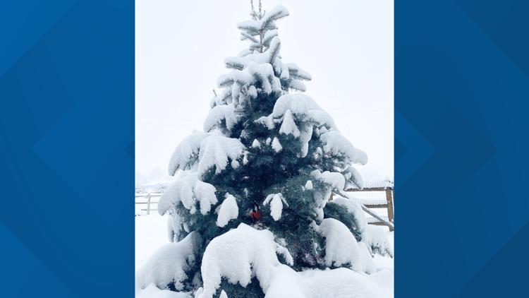
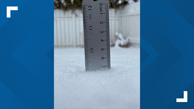
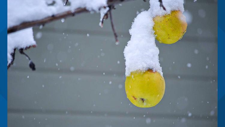
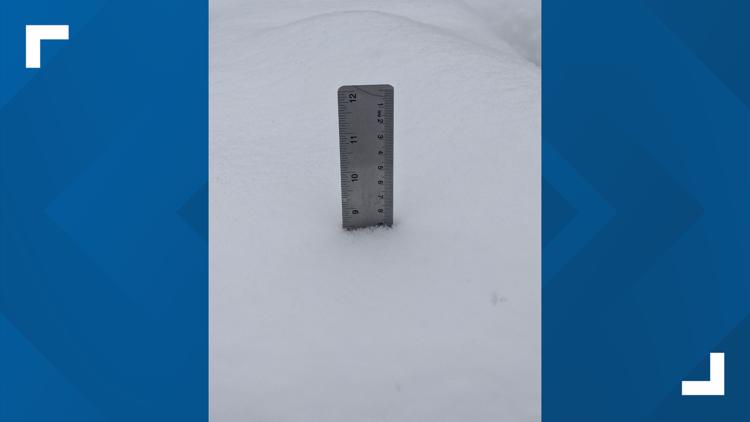
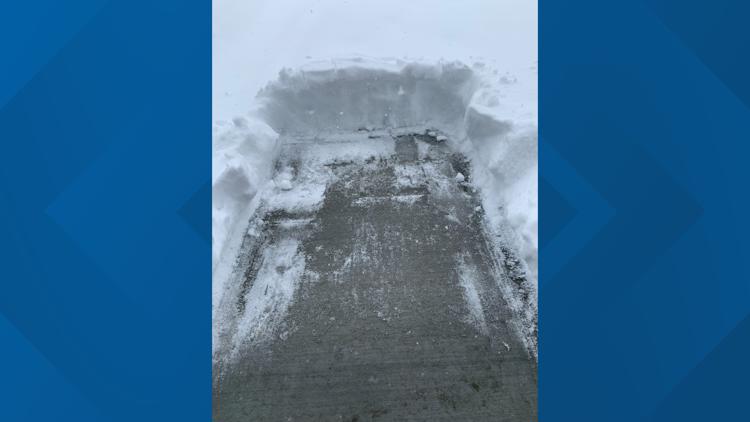
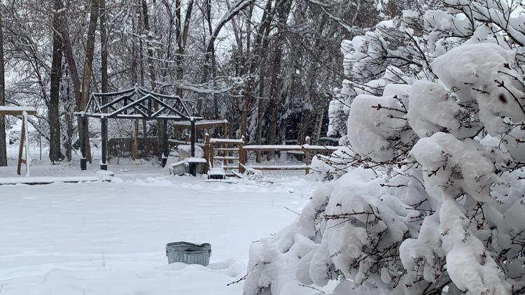
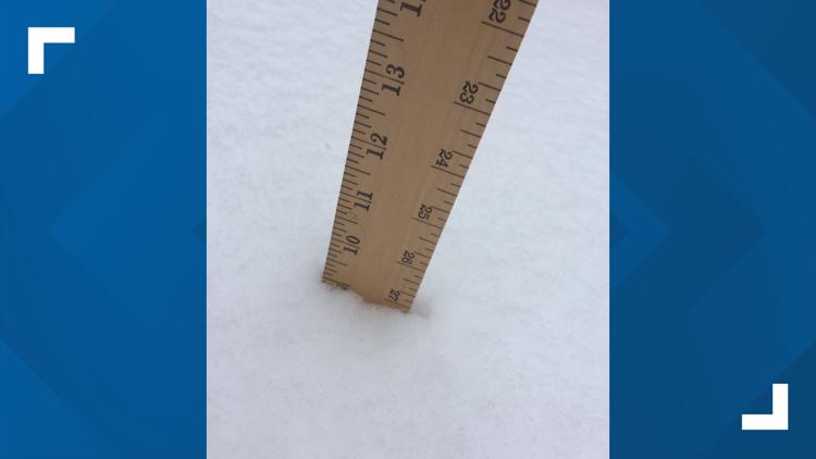
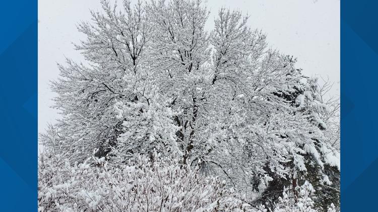
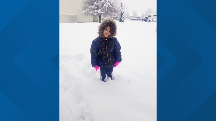
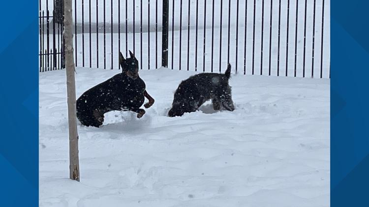
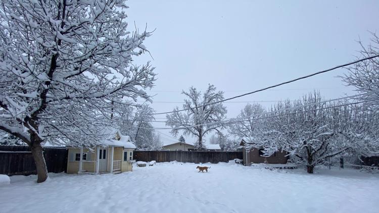
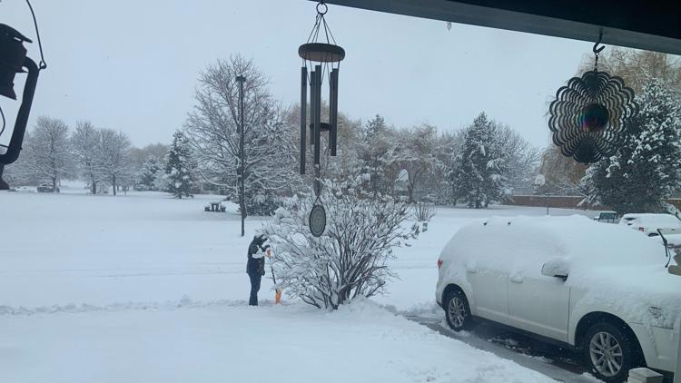
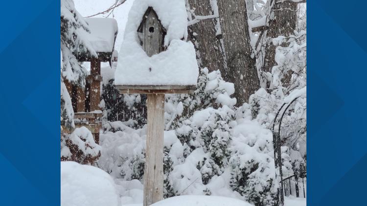
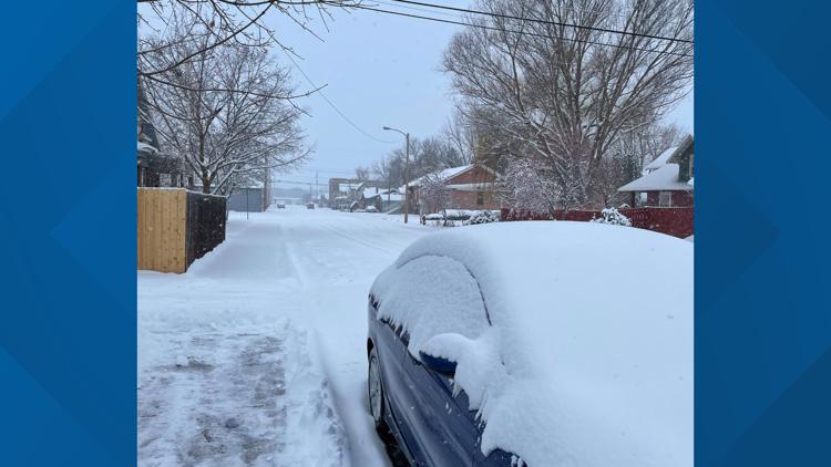
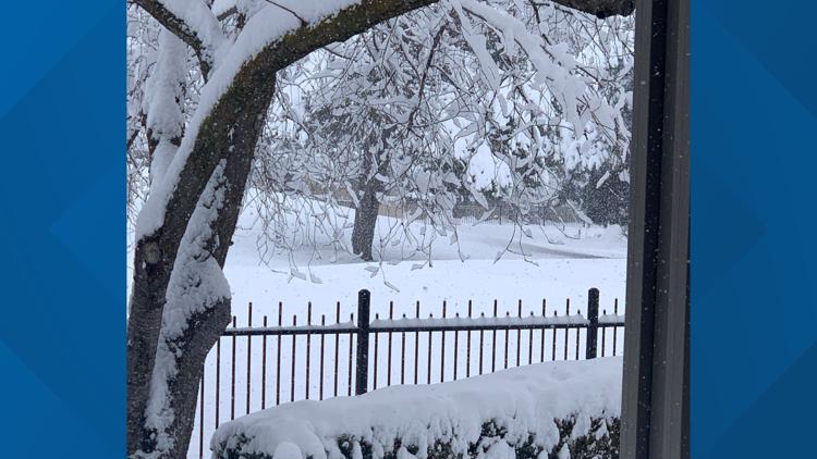
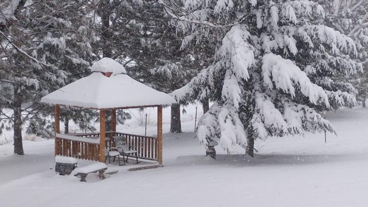
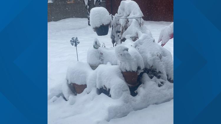
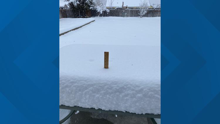
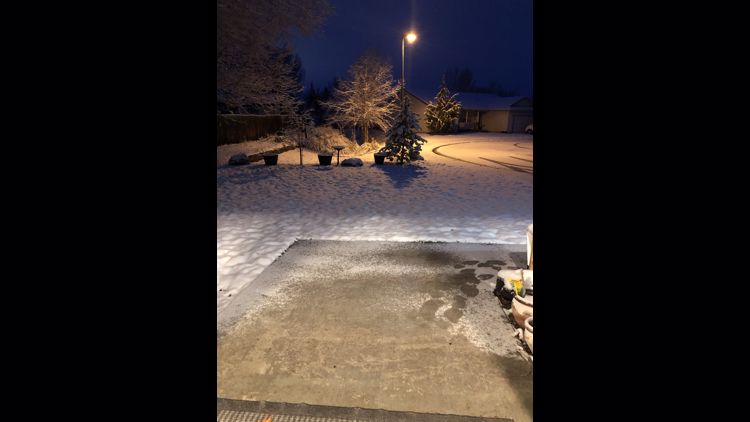
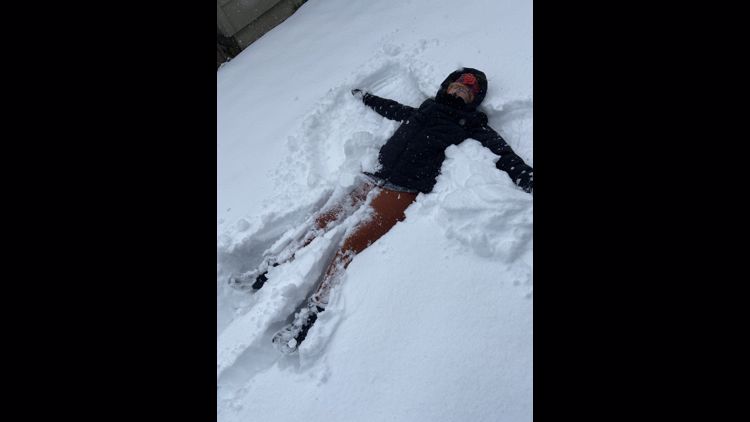
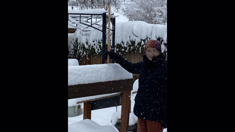
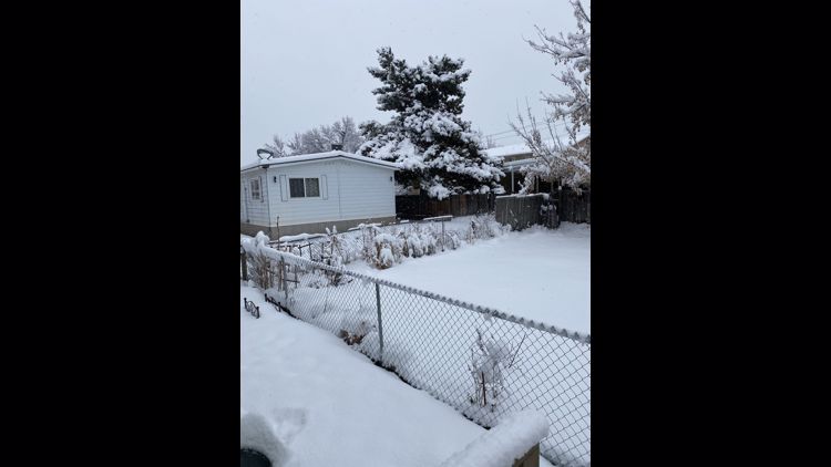
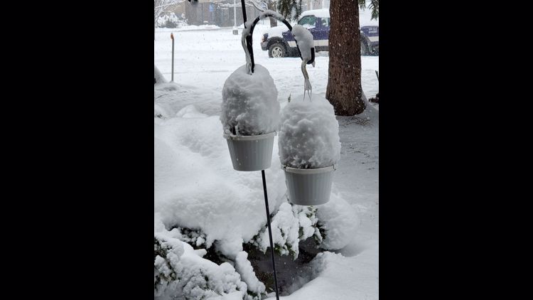
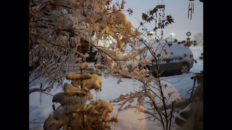
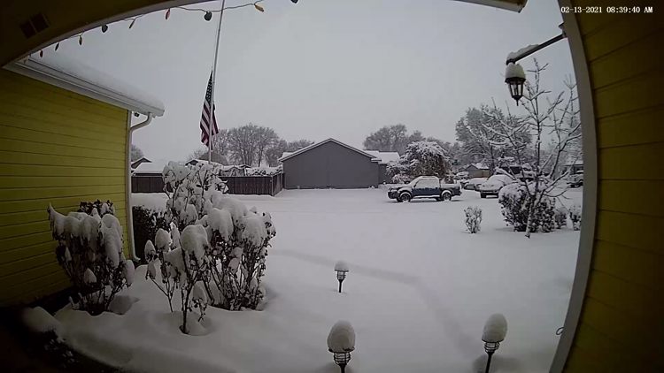
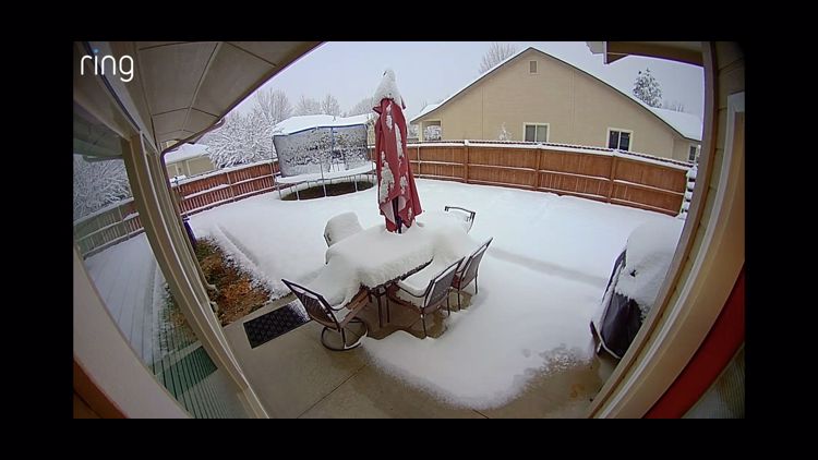
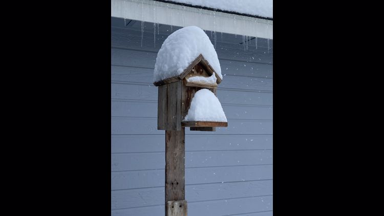
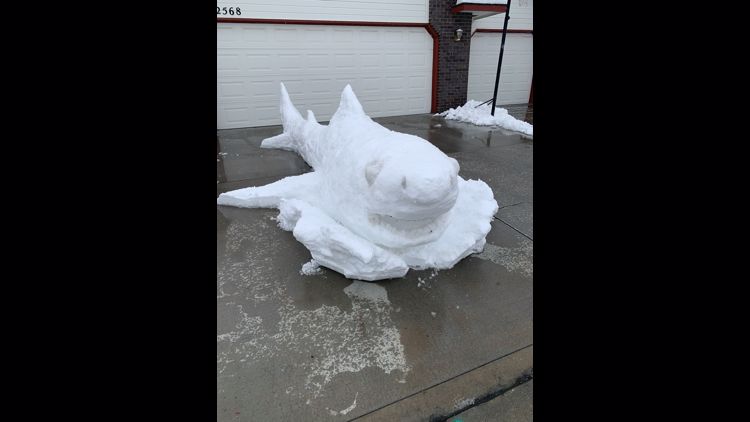
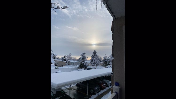
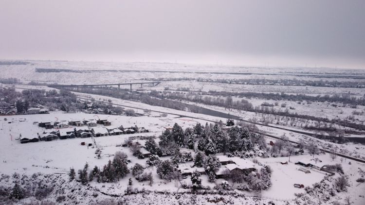
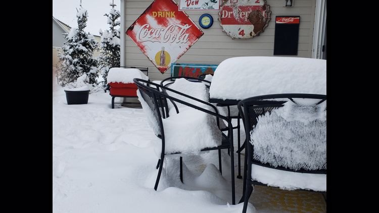
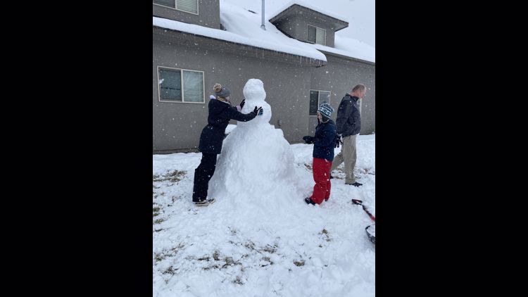
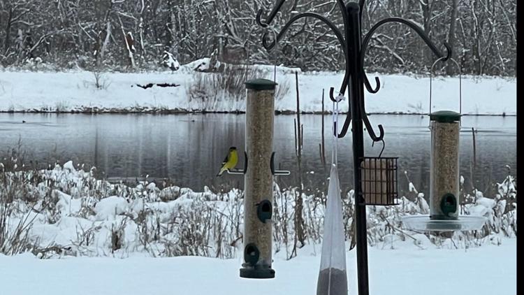
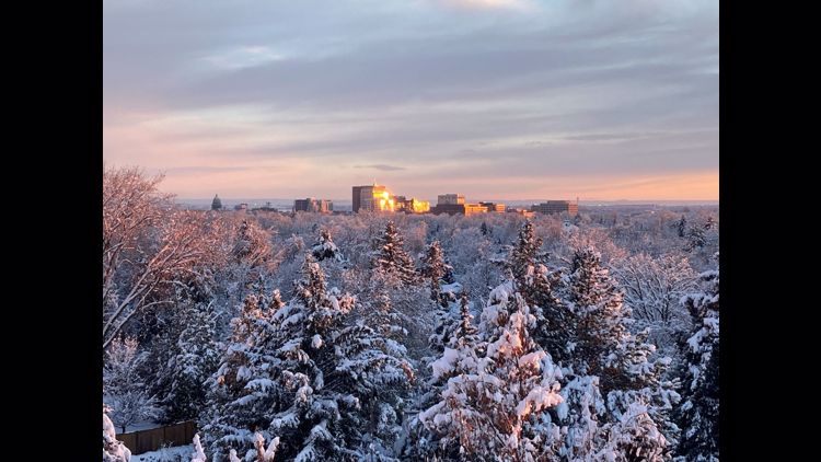
Photos sent to KTVB through the Near Me section of the KTVB app documented over 9 inches of snow accumulating in Boise and Kuna on Saturday morning. See some of those photos below and check back for updates.
Photos: February snowstorm brings over 6 inches to Southern Idaho valleys


The snowy conditions and slippery roads led to dozens of slide-offs and traffic incidents on Friday, shutting down the Connector in Boise in the morning and closing I-84 on Friday evening.
A cold front will push through the area this afternoon, ending the steady snow, but leading to breezy conditions with northwest winds 15-30 mph, which may lead to some localized blowing snow issues. Roads will remain icy.
For the most recent Treasure Valley weather forecast, click here.
Watch more weather:
See the latest weather forecasts and news in our YouTube playlist: